District 19 · Pobles del Sud (Pueblos del Sur)
Renovating a home in Pobles del Sud
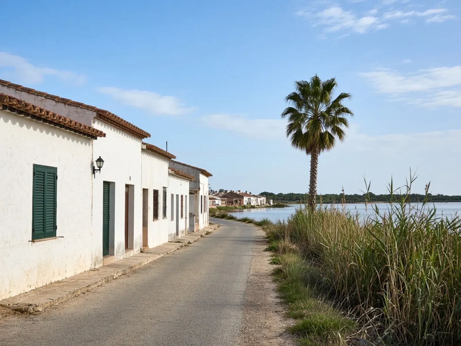
Pobles del Sud covers eight distinct barrios, including Castellar-l’Oliveral, El Palmar and the coastal settlements. Its catalogue records separate historic nuclei in Castellar and El Palmar; property, environmental and risk checks must be made for the actual location.
At a glance
Municipal data for 2025. These figures describe the district, not the condition of an individual property.
- District 19: 8 barrios
- El Forn d’Alcedo, Castellar-l’Oliveral, Pinedo, El Saler, El Palmar, El Perellonet, La Torre, Faitanar. These are administrative neighbourhoods; protection boundaries need a separate address check.[3]
- Recorded construction age
- The 2025 municipal report records 10,888 of 15,781 dwellings in construction-age bands ending in 1980: 69.0%. This is not a survey of their present condition.[1]
- Homes recorded after 1980
- The same cadastral table records 4,893 dwellings in the later construction-age bands. An older district can therefore contain very different buildings; identify the particular block before specifying work.[1]
- Castellar has a catalogued historic nucleus
- The structural catalogue records Núcleo Primitivo de Castellar in Castellar-l’Oliveral as a BRL historic nucleus, with an approximate mapped area of 3.7 hectares.[4]
- El Palmar has its own historic-nucleus boundary
- Núcleo Primitivo del Palmar is separately catalogued as a BRL historic nucleus, with an approximate area of 8.24 hectares. Its mapped boundary is distinct from the wider barrio and from Castellar's protection.[5]
Identify the settlement and the exact property
El Forn d’Alcedo, Castellar-l’Oliveral, Pinedo, El Saler, El Palmar, El Perellonet, La Torre and Faitanar make up Pobles del Sud. This is a group of distinct places, so an enquiry needs more than the district name. Supply the full address, cadastral reference, current use and photographs showing the building and its immediate surroundings.
The catalogue records separate historic nuclei in Castellar and El Palmar, with approximate mapped areas of 3.7 and 8.24 hectares respectively. The records do not establish one blanket heritage rule for all eight barrios. Locate the particular plot on the relevant planning and protection maps. Where coastal, environmental or flood-related constraints may be relevant, include those address-specific checks in the professional feasibility assessment rather than assuming either a restriction or an exemption.
Establish the building’s lawful use and history
For a house, collect available title information, cadastral details, previous works documents and any permissions explaining extensions or changes of use. Compare them with what exists. Where records do not agree, obtain appropriate advice before relying on an advertised floor area or treating an enclosed space as authorised living accommodation.
The district’s 2025 municipal report lists 15,781 dwellings, including 10,888 in construction-age bands through 1980. The share is 69.0%, while 4,893 are in later bands. These totals cannot establish the condition of a particular El Palmar house, Pinedo apartment or La Torre property. Previous renovation and repair history need to be investigated separately from the construction date.
If the property has suffered water damage
Ask for the actual event history, photographs, damage-assessment or repair reports and records of drying and replacement work where available. Do not infer that every property in a named barrio has the same damage history or current risk. An inspection should establish what is observed now and which further investigations are needed before materials are enclosed again.
Where water has affected electrical equipment, wall build-ups or floor finishes, involve the relevant qualified professionals in deciding what is safe to retain and what must be replaced. The renovation sequence should follow the investigation and repair findings. A new kitchen or coat of paint is not evidence that concealed moisture or damaged installations have been resolved.
Design resilience around the actual site
For a house with relevant exposure or a documented history of water ingress, discuss practical measures based on the professional assessment. These may concern material selection, access to services, drainage maintenance or the position of vulnerable equipment, depending on what is appropriate and permissible. No product should be presented as making a property immune to flooding or other damage.
For any external or ground work, establish the proposed route, ownership and applicable constraints. A terrace, enclosure, additional room or drainage change can require a different assessment from an internal bathroom refit. In a protected nucleus, the design must also respect the relevant heritage requirements. Treat these as connected parts of feasibility before the owner commits to an enlarged or altered building.
Coordinate the project through to documentation
Our renovation coordination can include architecture, interior design, structural input, required submissions and construction. Identify the professionals and deliverables in the appointment. The programme should distinguish investigation, necessary repairs, new installations and final finishes, with dependencies on external approvals or other owners made explicit.
At completion, retain records of the work actually done, relevant installation documents, photographs of important concealed repairs and maintenance instructions. Where the property has a damage history, keep the repair evidence alongside the earlier reports rather than discarding it after redecoration. The handover should also identify outstanding items and their responsibility. This gives the owner a clearer basis for future maintenance, future repair discussions and any later property transaction.
Your questions, answered
Do the same heritage rules apply in every southern barrio?
No. Castellar and El Palmar have separate historic-nucleus records, and other planning or protection requirements must be assessed for the actual location. The district name is not a complete permission check.
Can a previously damaged property be priced from photographs alone?
Photographs can help define an initial discussion, but concealed condition, moisture and installation safety may need investigation. A reliable scope should distinguish documented repairs, current observations and matters still requiring professional assessment.
Are all homes in Pobles del Sud affected by the same flood risk?
That should not be assumed. Check the exact site, official mapping, property history and professional advice relevant to the proposal. Neither the barrio name nor a completed renovation proves a particular risk level.
Can a coastal or rural home be extended as part of the refurbishment?
Only after the address-specific planning, environmental, coastal, heritage and technical issues relevant to the site have been assessed. Establish feasibility before including extra volume as an assured part of the contract.
Sources
- Municipal district 19 report 2025: population sections 1.3/1.8 and cadastral housing age section 5.1 (page 19). Ajuntament de València, Oficina de Estadística. Checked 31 October 2026.
- Official municipal districts and barrios map (19 districts, 87 barrios). Ajuntament de València, Oficina de Estadística. Checked 31 October 2026.
- Official neighbourhood boundary dataset: 88 features, 87 distinct district-neighbourhood codes (175 has two polygons). Ajuntament de València, Geoportal. Checked 31 October 2026.
- Municipal structural heritage catalogue: 19-04 Núcleo Primitivo de Castellar. Ajuntament de València, Urbanisme. Checked 31 October 2026.
- Municipal structural heritage catalogue: 19-06 Núcleo Primitivo del Palmar. Ajuntament de València, Urbanisme. Checked 31 October 2026.